I have a web scraper setup using the HA scrape tool and it does connect and scrape the data but unfortunately too much. I am looking to extract the lat/long of a ship while underway.
My output from the scrape is
The current position of US WARSHIP 22 is at North America West Coast (coordinates 32.35192 N / 118.76818 W) reported 1 min ago by AIS. The vessel is sailing at a speed of 8.0 knots.
There is (coordinates xx.xx – I am thinking I can filter from that? Not sure how to do that.
btw… there are also (free) API providing JSON output allowing to load lat/lon as an attribute…but you have to look for them yourselves and see if they match your need
Not sure which website as there are more so it seemed … but since I am not (that) interested…did not look further.
If you want to use the sensor for a position on a map (e.g. map card) then the lat+lon in the attributes would be sufficient, hence json is more efficient, one rest sensor and 'done.
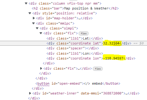
However, with the scrap you can do this too but…you need 1 sensor for lat, 1 sensor for long and 1 sensor to bring the two together…not my style if (free) alternatives exist